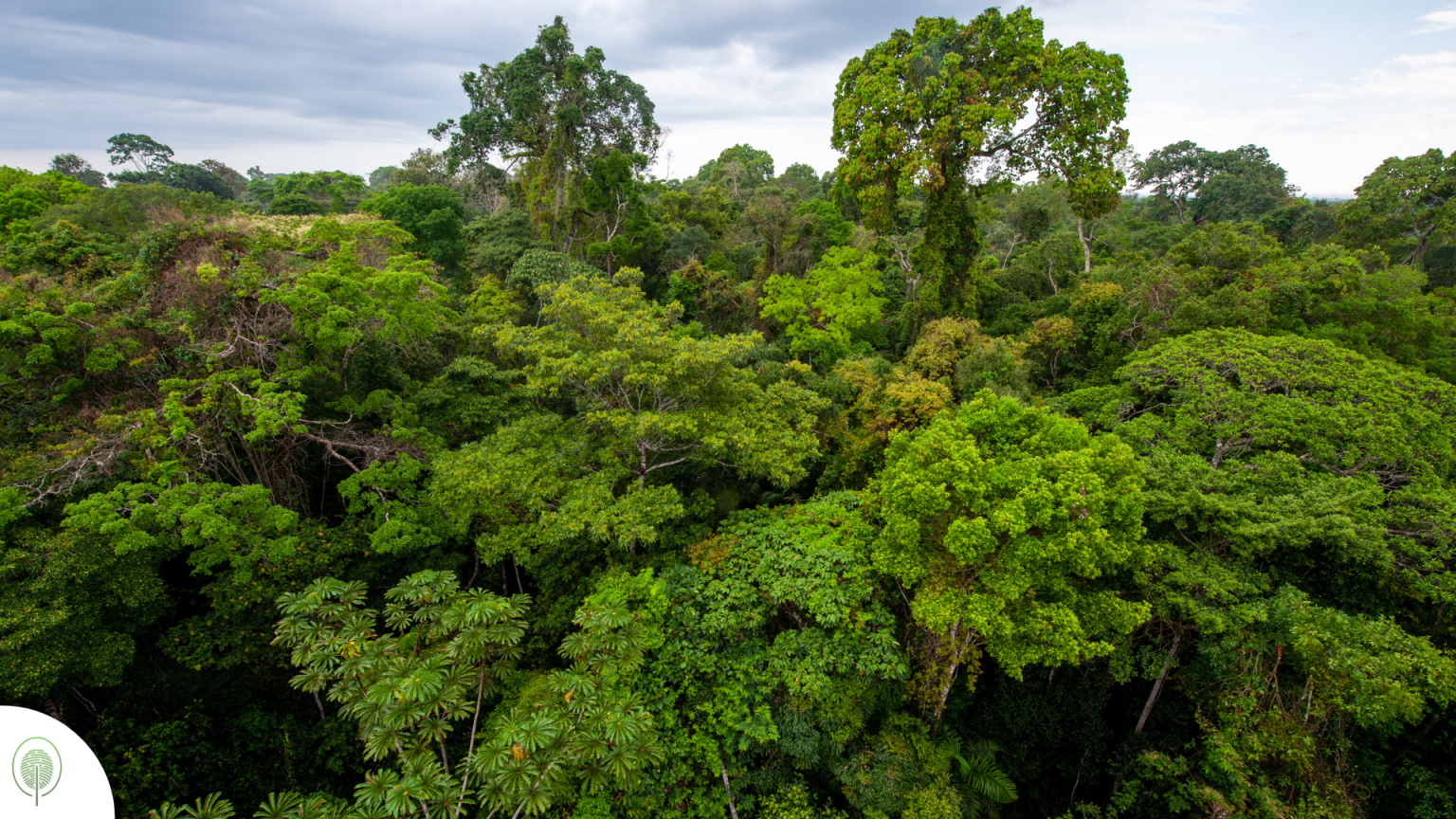
We recently highlighted Forest Management as an important strategy for protecting conservation areas, planting native species, promoting the sustainable use of natural resources, and forest certification, to ensure that we continue to obtain forest products for economic purposes without implying environmental degradation and the degradation of the communities that live there. And, as mentioned, all of this is possible thanks to the use of advanced technologies to monitor and map the forest. Therefore, today we will talk more about LiDAR (Light Detection and Ranging) technology and how it can also be a very useful tool for REDD+ carbon projects.
The acronym REDD+ stands for Reducing Emissions from Deforestation and Forest Degradation, respectively, and encompasses projects that aim to reduce greenhouse gas (GHG) emissions from deforestation and forest degradation, as is the case with “Yuxibu”. The “Legal Amazon” is made up of the states of Acre, Amapá, Amazonas, Mato Grosso, Pará, Rondônia, Roraima, Tocantins and part of Maranhão. And it is precisely in Acre that Canopée established the “Yuxibu” project, more precisely on the São Jorge I, São Jorge II and Mucuripe Farms, in the city of Sena Madureira.
The area is predominantly home to traditional peoples and communities, such as the Huni Kuin indigenous people, and has always had high rates of deforestation, which ends up compromising not only the native biome but also the local population. The project has been protecting the forest since 2005 and all of its actions are especially concerned with helping the development of local communities. The target for reducing carbon emissions for this region is 3,311,169 tons of CO2eq (carbon dioxide equivalent) over a 30-year period. The term “CO2eq” refers to any other GHG (greenhouse gas) emitted. To achieve an ambitious target like this, the help of LiDAR technology is essential.
To give you an idea, LiDAR is capable of generating an accurate three-dimensional model of the forest surface, including the height and density of trees, as well as the topography of the terrain. With this, it is possible to accurately estimate the biomass and carbon stored in the forests, allowing REDD+ projects to quantify carbon emission reductions with greater precision and credibility, proving to be an important tool for the evaluation and certification of these projects. In addition, LiDAR can also be used to monitor forest cover over time, identifying areas subject to deforestation or degradation, enabling effective monitoring actions.
Although this information enables more efficient and sustainable forest management, it is important to emphasize that LiDAR technology is not a single, definitive solution for projects like this, which aim to mitigate climate change, as the success of these projects will also depend on a series of human factors. Among these, we emphasize the participation and consultation of local communities, the adoption of responsible management practices and the creation of efficient and transparent monitoring systems.
Canopée, through sustainable socio-environmental projects such as “Yuxibu”, seeks to promote solutions to mitigate and adapt to the effects of climate change, while prioritizing the well-being of local communities and the conservation of natural resources. LiDAR technology is a valuable tool in this effort, contributing to the monitoring and sustainable management of the region's forests.
Av. Pres. Juscelino Kubitschek, 1455 – 4º andar 04543-011 – São Paulo / SP
Brasília - DF
Viçosa - MG
Canopée was founded in early 2020 by a small group of internationally renowned entrepreneurs and executives who decided to pool their skills and experience to benefit the environment and communities living in protected and preserved areas.